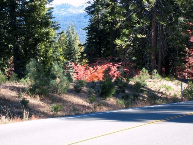
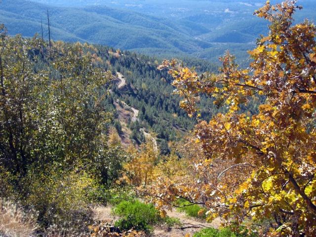
Map | Some fall colors along Wentworth Springs Road

Map | Some fall colors along Wentworth Springs Road

Map | Some fall colors along Wentworth Springs Road

Map | Some fall colors along Wentworth Springs Road

Map | Fall Colors along Ice House Road

Map | Ice House Road stop

Map | Exploring around Union Valley Reservoir

Map | Exploring around Union Valley Reservoir

Map | Part of SMUD's hydro power network - I believe this penstock comes from Loon Lake and passes through a generator before entering Union Valley Rerservoir - Photo taken from Ice House Rd

Map | Sitting on a boat launching ramp on the southeast side of Union Valley Reservoir

Map | Big Hill Lookout Tower
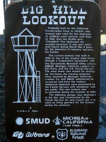
Map | Big Hill Lookout Tower

Map | Union Valley Reservoir - if you look closely, at far side of the lake, you can see the penstock shown in on of my earlier photos from Ice House Rd.

Map | View of Ice House Reservoir from Big Hill Lookout area

Map | On the grounds of Big Hill Lookout Tower.

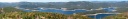
Map | View of Union Valley Reservoir on the left, Ice House Reservoir on the right.
CLICK HERE and use the mouse wheel to zoom, click and drag to pan
Map | View of Union Mine Reservoir from the road to Big Hill Lookout Tower. CLICK HERE and use the mouse wheel to zoom, click and drag to pan
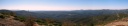
Map | Western view from Big Hill Lookout area
CLICK HERE and use the mouse wheel to zoom, click and drag to pan
Map | Road to Big Hill Lookout area
Map | From the shores of Ice House Reservoir
Map | Rest stop near Ice House Reservoir
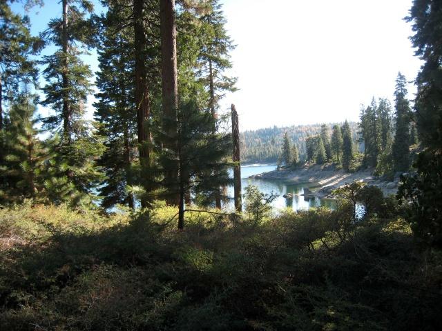
Map | Exploring around Ice House Reservoir

Map | A tree alongside Forest Service Rd NF 32. Some of the trees in this area could stand proudly in a redwood grove.

Map | A tree alongside Forest Service Rd NF 32. Some of the trees in this area could stand proudly in a redwood grove.

Map | Near Wright's Lake
Map | Wright's Lake

Map | Wright's Lake

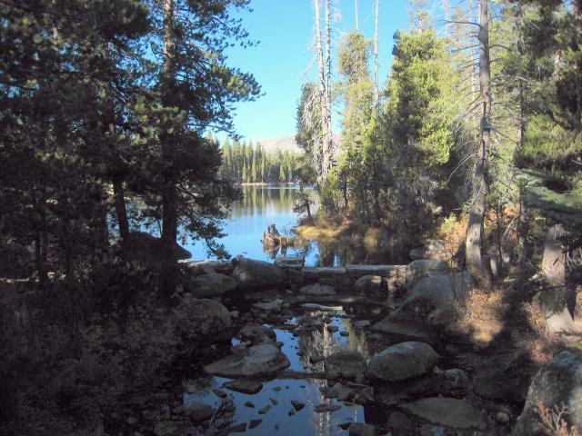
Map | Wright's Lake - the first living thing I'd seen for a couple of hours.

Map | Wright's Lake

Map | Dark Lake

Map | Looking west from Wright's Lake road as it descends towards Hwy 50 - the photo doesn't come close to capturing this view.

Map | Looking west from Wright's Lake road as it descends towards Hwy 50 - the photo doesn't come close to capturing this view.

Map | Looking west from Wright's Lake road as it descends towards Hwy 50 - the photo doesn't come close to capturing this view.

Map | Looking west from Wright's Lake road as it descends towards Hwy 50 - the photo doesn't come close to capturing this view.

Map | Just some rocks - I stopped and looked into the canyon for a while.

Map | Hwy 50 as seen from Wright's Lake Rd.

Map | View from Wright's Lake road as it nears Hwy 50 which lies in the bottom of the American River Canyon straight ahead.